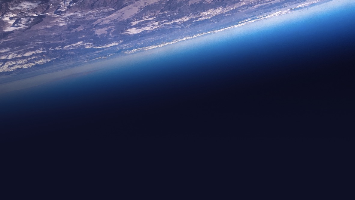
At the Finnsh Meteorological Institute we use satellite remote sensing to study how the atmosphere and the cryosphere are changing and what processes take place that are linked to the changes. We study the composition of the atmosphere, and in particular air quality and greenhouse gases and changes in emissions. We have long lasting experience in studied processes linked to ozone layer and developing satellite data for surface level UV-radiation for global use.
As part of the Academy of Finland Centre of Excellency in Inverse Modeling and Imaging we develop methods to analyse non-direct satellite observations for climate research. We develop satellite retrieval techniques and uncertainty quantificatio methods. As a work-horse we have developed adaptive Markov chain Monte Carlo methods for deriving Bayesian solutions to retrieval problems.