New investigation provides improved information on snow cover reflectance under the spring melt. The results enable better satellite data-based snow melt monitoring. This assists e.g. hydropower production, flood prevention and meteorology.
Finnish Meteorological Institute (FMI) and Finnish Environment Institute (SYKE) investigated the behavior of Sun light reflectance in forested and open landscape. The aim was to provide information on the reflectance variation in boreal landscape at the very end of the melting period when the snowpack is thin and partially contaminated.
Satellites are widely utilized in snow covered area and snow melt monitoring. One problem is the reliability of the interpreted snow information during the end of the melting season. The results obtained here can be used to refine the algorithms for this period and to assess the reliability of current methods.
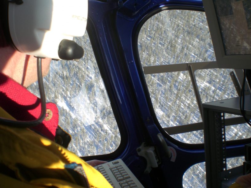
The work is based on the extensive aerial measurement campaigns carried out in Sodankylä and Saariselkä regions using the Finnish AISA airborne imaging spectrometer.
More information:
Research Scientist Miia Salminen, Finnish Meteorological Institute, miia.salminen@fmi.fi
Research Scientist Kirsikka Heinilä, Finnish Environment Institute, kirsikka.heinila@ymparisto.fi
Heinilä, K., Salminen, M., Metsämäki, S., Pellikka, P., Koponen, S., Pulliainen, J., 2019. Reflectance variation in boreal landscape during the snow melting period using airborne imaging spectroscopy. Journal of Applied Earth Observation and Geoinformation, 76, 66-76. https://doi.org/10.1016/j.jag.2018.10.017



Leave a Reply
You must be logged in to post a comment.