In his dissertation, Juval Cohen, a research scientist at the Finnish Meteorological Institute, studied the effect of forest canopy on satellite observations in the northern boreal forest region. Based on the results of the thesis, a first operational satellite-based flood mapping product used at the Finnish Flood Center was developed. The product can detect floods in open areas and in forests.
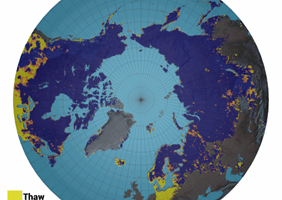
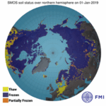
The approach proposed in the thesis also enables the monitoring of freeze/thaw state of the terrain in forests with SAR satellite data, which can be used to improve existing operational products. This could be beneficial, for example, to users of forestry machinery or other heavy equipment who need information on soil bearing capacity.
“The research increases the understanding on the influence of forest canopy in remote sensing and thereby contributes to the development of new and existing remote sensing products,” Juval Cohen summarizes the benefits of the dissertation.
The model can separate signals originating from canopy and ground surface
Satellite observations are frequently used for the monitoring of northern boreal environments. However, forest canopy influences the electromagnetic signals and hinders the visibility of the ground surface.
In this thesis, a model was used to separate the signals originating from the ground surface and from the canopy, thus enabling e.g. the monitoring of the ground beneath the canopy. Thanks to the relative simplicity and the good accuracy of the model, it can be used in near real-time mapping and monitoring of wide areas from space.
“A nice and an interesting aspect in this work was the combination of scientific theoretical research and the development of practical applications,” says Juval Cohen.
The Earth surface can be mapped with optical and microwave instruments. Optical instruments operate on the wavelengths of infra-red and visible light, whereas microwave instruments on microwave frequencies. The model was applied on the optical and the microwave observations, but the research was generally more focused on radar satellites operating on microwave frequencies. The main advantages of the radar satellites are their ability to collect images also during the night, beneath the clouds and with a relatively high spatial resolution.
More information:
Research Scientist Juval Cohen, Finnish Meteorological Institute, tel. +358 50 376 4128, juval.cohen@fmi.fi
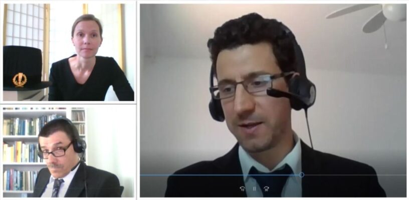
Juval Cohen’s dissertation “The effect of forest canopy on remote sensing observations in the Boreal region” was examined on June 12, 2020 at Aalto University School of Engineering. The opponent was Yrjö Rauste, D.Sc., VTT, and the custos was Professor Miina Rautiainen.
The dissertation is available in Aalto University’s Aaltodoc publication archive (linkki: https://aaltodoc.aalto.fi/handle/123456789/49).


Leave a Reply
You must be logged in to post a comment.