
In his dissertation, Johannes Norberg, a researcher at the Finnish Meteorological Institute, developed a computationally efficient method for imaging the Earth’s ionosphere.
The ionosphere is the partly ionised region of the Earth’s atmosphere. It starts at an altitude of about 60 kilometers and reaches up to 1,000 kilometers. It has a significant effect for HF radio transmissions and satellite positioning services.
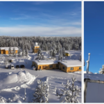
Ionospheric electron density can be measured with radars, such as EISCAT radars located in the northern parts of Norway, Finland and Sweden, as well as with satellite or rocket missions. Aforementioned measurements can be very precise; however information is obtained only along the radar beam or from the location of the instrument. Extending the field of view for a larger region is difficult and expensive.
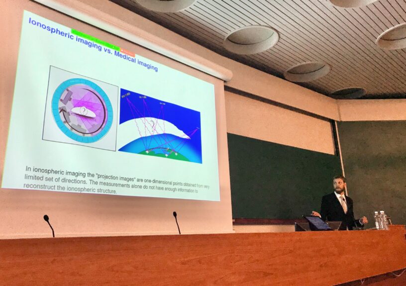
In his dissertation, Norberg developed a computer software for near real time three-dimensional imaging of the ionosphere using positioning satellite systems such as GPS, GALILEO and GLONASS. Mathematically ionospheric imaging is an inverse problem and resembles medical CT scan.
In this work, novel Gaussian Markov random field-based correlation priors were applied in ionospheric imaging. The approach reduces the requirement of computer memory, again reducing the computation time and allowing for higher resolution solutions.
Johannes Norberg’s dissertation “Bayesian approach to ionospheric imaging with Gaussian Markov random field priors” was examined on August 19, 2020 at the Faculty of Science of the University of Helsinki. The opponent was Professor Matthew Angling, Spire Global Ltd UK, and the custos was Professor Samuli Siltanen, University of Helsinki, Finland.
More information:
Reserch Scientist Johannes Norberg, johannes.norberg@fmi.fi
Doctoral dissertation is available at: http://hdl.handle.net/10138/318318

Leave a Reply
You must be logged in to post a comment.