

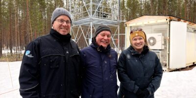
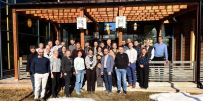
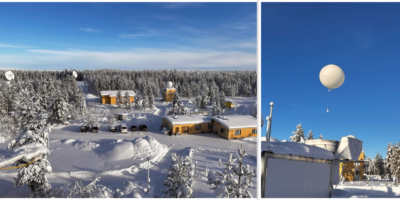
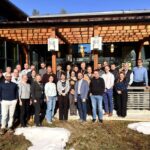
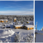
Field campaign of “Low orbit altimetry, albedo, and Antarctic Snow and Sea-ice Surface Roughness (LAS3R)” project, funded by Academy of Finland, was organized in Inari, Lapland. Measurements were made on 3-7 April 2022 in Lake Inari and Menesjärvi at four different locations. Snow properties, surface roughness and snow reflectance were observed on lake ice. The campaign was organized in collaboration with Finnish Geospatial Institute.
Aim of the project is to understand the effects of snow and ice surface roughness on altimetry and surface albedo observations. The surface roughness of snow and sea ice impacts satellite observations, but the magnitude of the effects is not well known. For optical imagery, surface roughness creates uncertainty in estimates of surface albedo. For satellite altimeters, surface roughness creates uncertainty in estimates of sea ice thickness. Surface roughness is scale-dependent, which creates a need to measure surface roughness across scales to understand which macro scales impact satellite observations most.
Arctic Space Centre made measurements with DJI Matrice 600 drone including 500-900 nm hyperspectral camera and CM11 pyranometer. In addition, automated albedometer was installed to the field sites, snow pits were made to measure physical properties of the snowpack, and measurements were made with 325-1075 nm hand-held spectroradiometer. Measurements were made in ICESat-2 and CryoSat-2 overpass locations to allow comparison with satellite data. Finnish Geospatial Institute made drone-based lidar scanning. The campaign was organized in Lapland since expedition to Antarctica was postponed due to pandemic.
More information
Leena Leppänen, Scientist, leena.leppanen@fmi.fi
Leave a Reply
You must be logged in to post a comment.