
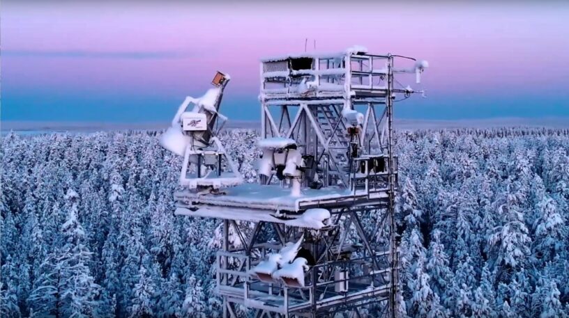
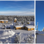
Measuring snow from space is a topic that interests both scientists and governments. A new experiment using a radar on a tower in Sodankylä proves the feasibility of measuring changes in snow using satellite imagery.
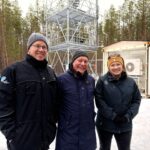
Sodankylä SAR (SodSAR) is an imaging radar designed by a Finnish company Harp Technologies. Due to its location, it provides unique data for studying snow and boreal forests in the microwave domain. It has been operating and measuring since 2019, acquiring several images every day.
In upcoming years several satellite missions with the goal of measuring snow will be launched by several space agencies worldwide. This study conducted at the Finnish Meteorological Institute proves the concept under several retrieval conditions, while also analysing what are the main limiting factors. The presence of snow meltdown due to above 0 ˚ C temperatures was found to be a major source of degradation. Moreover, the study validates the retrieval under the long revisit times from 12 to 14 days that satellites can typically offer.
More information
Jorge Ruiz, Research scientist, Finnish Meteorological Institute, Jorge.Ruiz@fmi.fi
Scientific article is available in IEEE Transactions on Geoscience and Remote Sensing.
Reference: J. J. Ruiz et al., “Investigation of environmental effects on coherence loss in SAR interferometry for Snow Water Equivalent retrieval,” in IEEE Transactions on Geoscience and Remote Sensing, 2022, doi: 10.1109/TGRS.2022.3223760.
Leave a Reply
You must be logged in to post a comment.